- Home
- Techniques
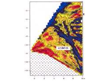
- Electrical Resistivity Tomography
Electrical Resistivity Tomography
This method consists of measuring the electrical resistivity of the ground through the use of a specialised borehole probe. This method allows us to sample the ground surrounding the borehole up to 300 metres in depth. In addition, a cross hole technique can be employed to obtain a 2-D resistivity section between two boreholes.
Applications:
- Resistivity variations down a borehole can be correlated to stratigraphic changes;
- Identify the upper and lower extent of an aquifer;
- Saline intrusion mapping in coastal areas;
- Environmental applications such as contaminant flow mapping, groundwater quality mapping;
- Down hole IP can be used for characterisation of mineral deposits;
- Correlation of resistivity data with other borehole data allows lateral extrapolation (e.g. porosity, permeability, saturation).